Services
HOW IT WORKS
Photogrammetric mapping & Construction sites
Digital imaging technology lets us extract three-dimensional measurements from two-dimensional data. Using drones, high-resolution digital cameras and cloud computing, we can produce models of building sites and construction progress from a sequence of photographs.
Photogrammetry uses special software to stitch together a series of digital photographs to produce a 3D model. Photogrammetric models help us analyze data, improve safety, identify damage, reduce costs and assess conditions as construction progresses over time.
- 2D & 3D Models
- Reduce Costs
- Stay Informed
- Show Progress
- Improve Safety
- Identify Damage
- Analyze Data
- Assess Conditions
Contact Us for Aerial Photography
Call : (970) 379-0165
Construction Monitoring
2D & 3D Maps
Videos & Photos
our expertise
Our construction aerial photography services include
Construction progress aerial photography provides a constant and high-quality visual of your construction site, and many deliverables construction professionals need for any project. Drones streamline all your data to create the resources you need to meet your unique goals.
- High-Resolution Visual Monitoring
- Improved Progress Monitoring
- Transparency with Stakeholders
- Centralized Communication with Teams
- Increase Safety
- Save Time and Money
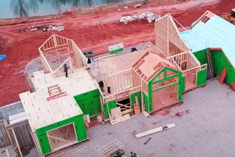
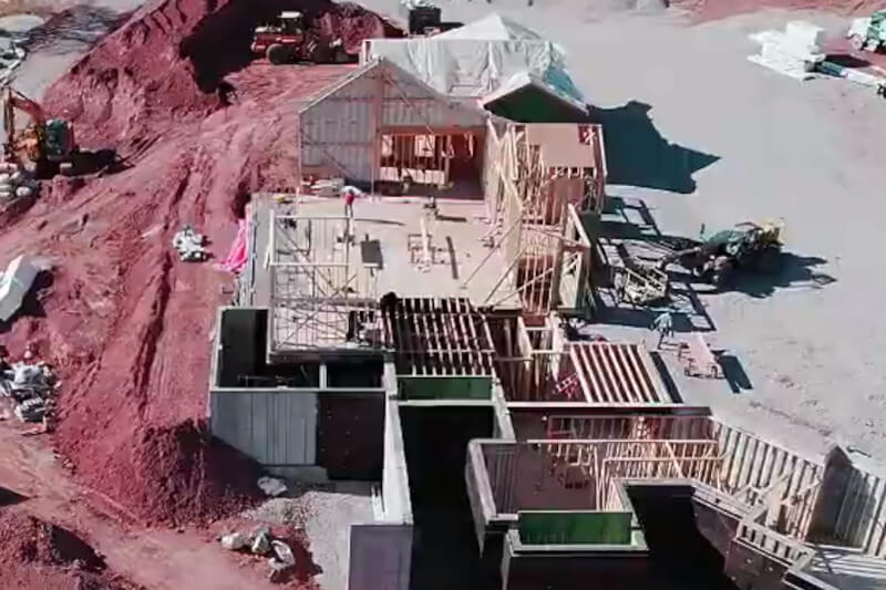
Construction Images
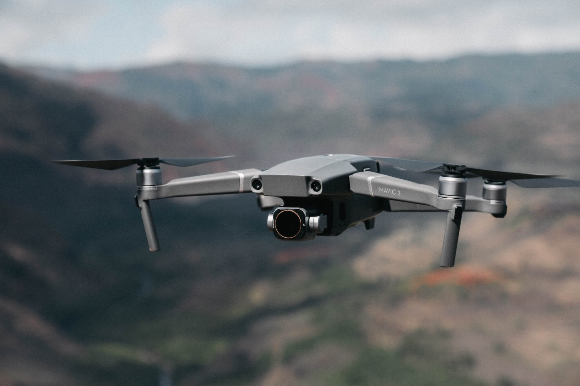
What's A Photogrammetry Drone?
Benefits of Photogrammetry Drones
- High Accuracy: Photogrammetry drones provide highly accurate data that can be used for a wide range of applications.
- Cost-Effective: Compared to traditional surveying methods, photogrammetry drones are often more cost-effective. They can cover large areas quickly, and the data can be processed rapidly using advanced software.
- Improved Safety: By using photogrammetry drones, professionals can avoid putting themselves in harm's way while still collecting highly accurate data. Drones can be used to collect data in hazardous areas, such as construction sites or areas with unstable terrain.
Pricing
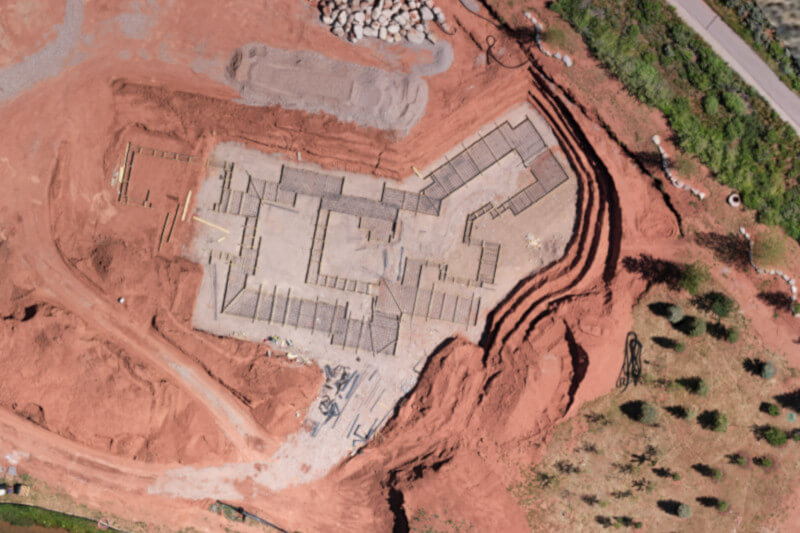
2D Map from NADIR
$250/Submission
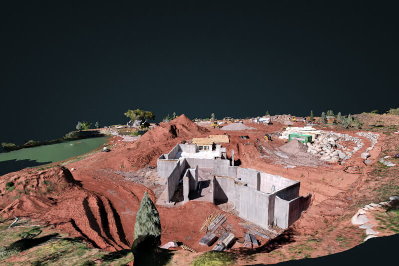
2D Map + 3D Map
$350/Submission
2D Map + 3D Map + 360 Degree Orbital Video
$400/Submission
360 Degree Orbital Video
$250/Submission
Need a Custom Package?
Don’t see what you’re looking for? Contact us and let’s discuss your project, needs, and requirements.
