Western Colorado Professional Drone Services
Eagle & Roaring Fork Valley Construction Photogrammetry
Our aerial progress photography and videography services allow you to capture bird’s eye views of your construction project at an affordable price.
Construction Progress Photography
Monitoring
Inspections
2D Imagery
3D Modeling
Max Ceiling
Max Flight Time
What We Do
Photogrammetric mapping services
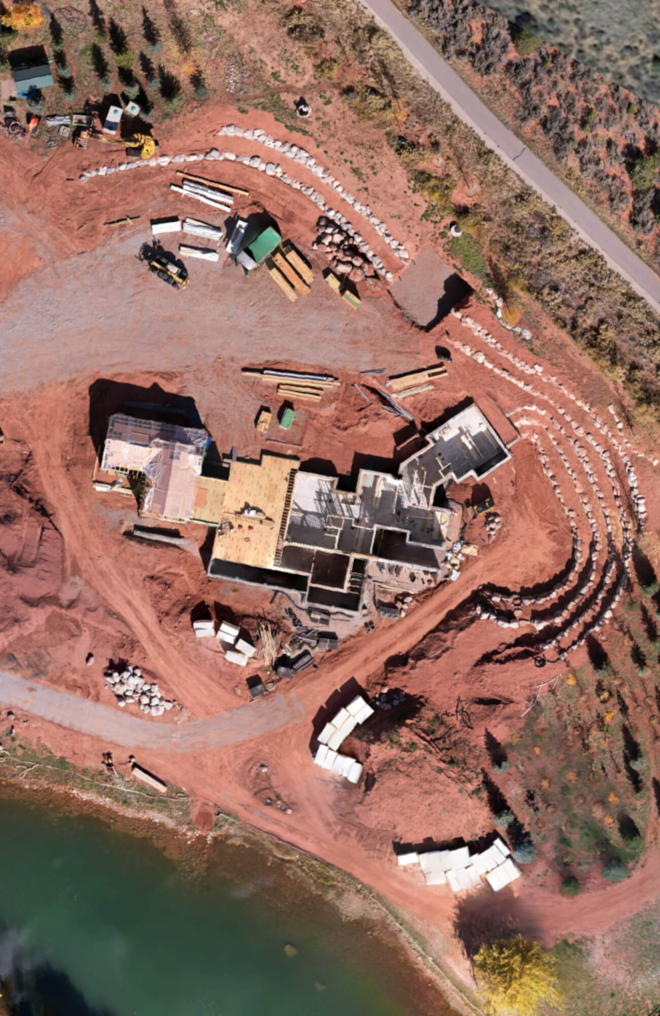
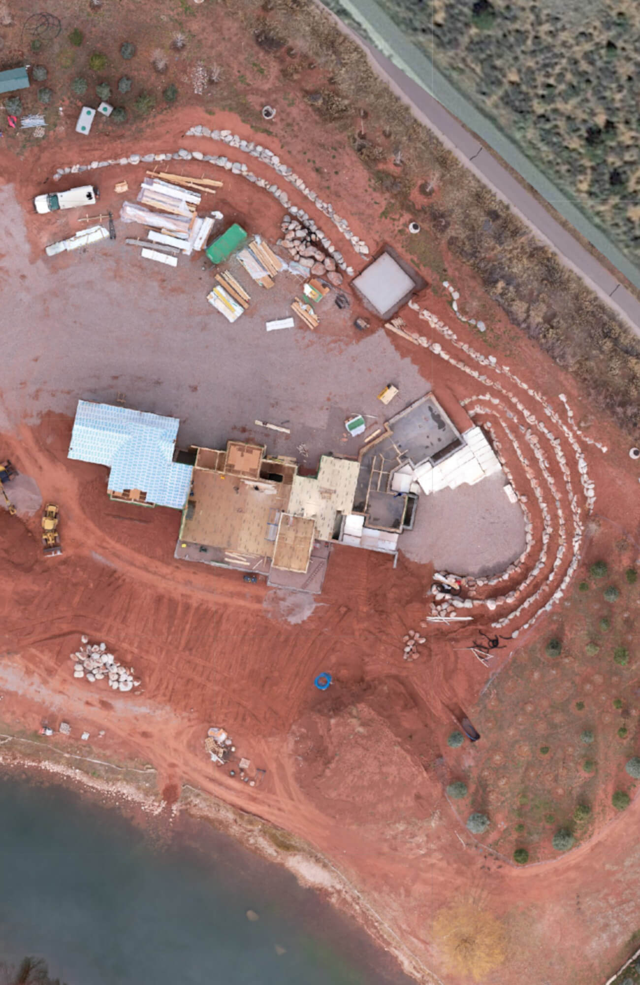
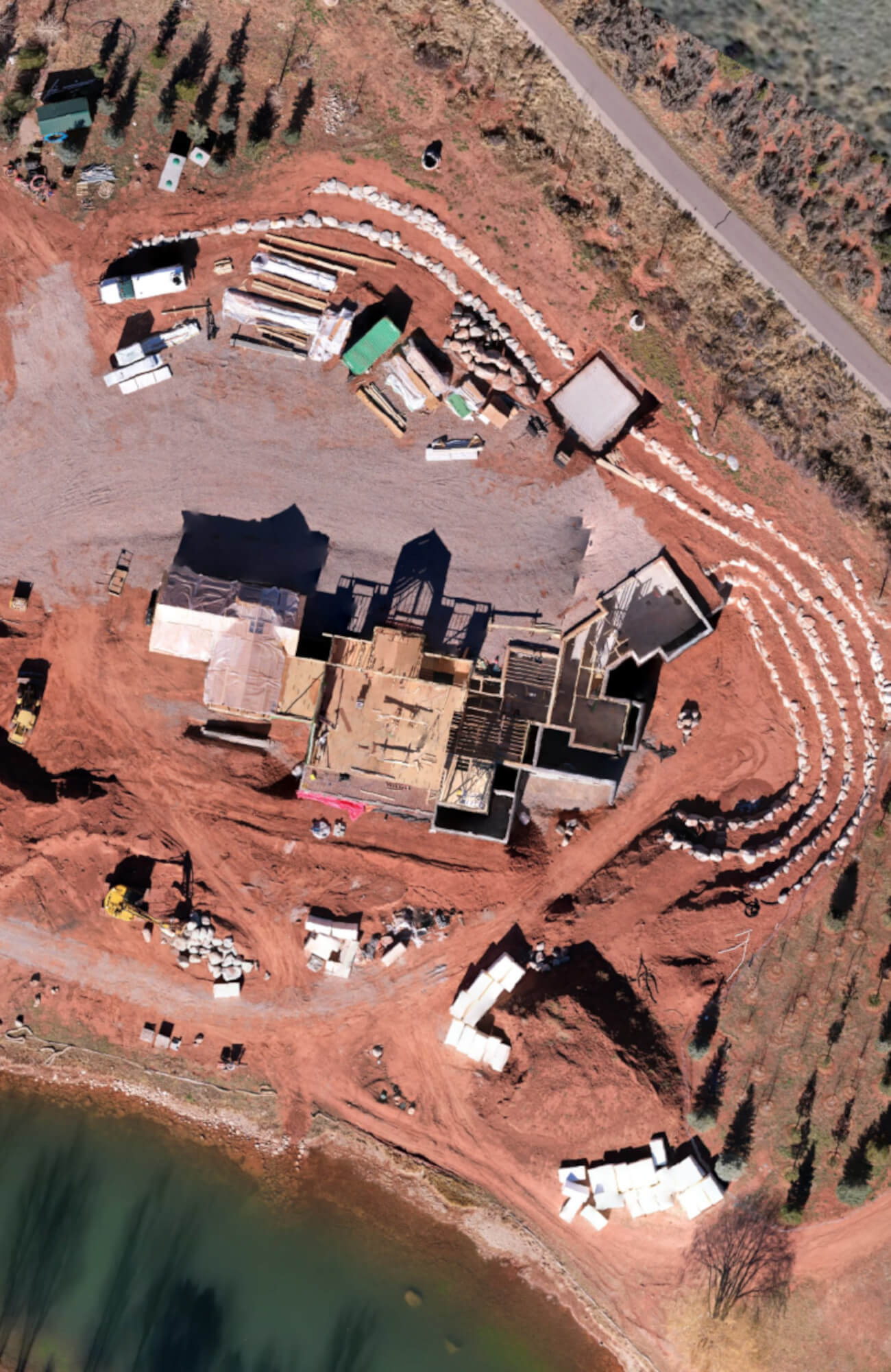
Construction progress photography involves capturing a series of aerial or ground-based photographs at different stages of a construction project and using photogrammetric techniques to analyze these images. Here’s how the process typically works
01.
Initial Survey
Before construction begins, an initial survey can be conducted to establish reference points and collect base data.
02.
Image Capture
At various stages of construction, drones or ground-based cameras capture high-resolution images of the construction site. These images should overlap to allow for accurate 3D reconstruction.
03.
Image Processing
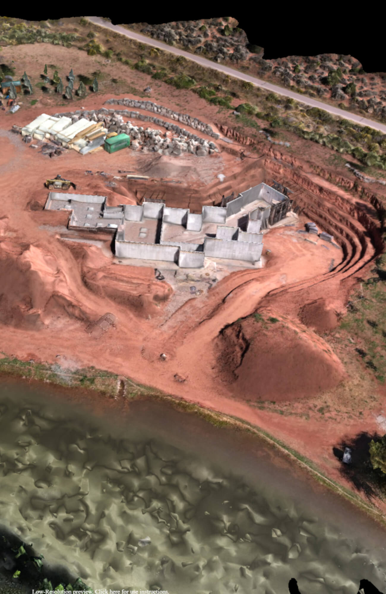
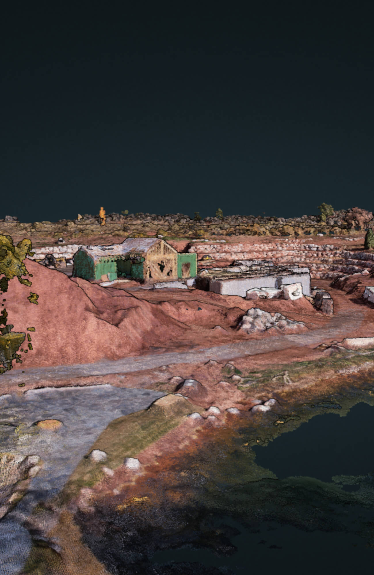
Photogrammetry software is used to process the images. This involves feature matching, camera calibration and creating a point of reference on point clouds or 3D model of the construction site.
04.
Change Detection
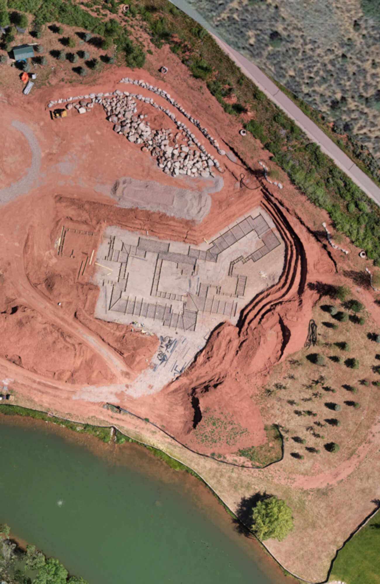
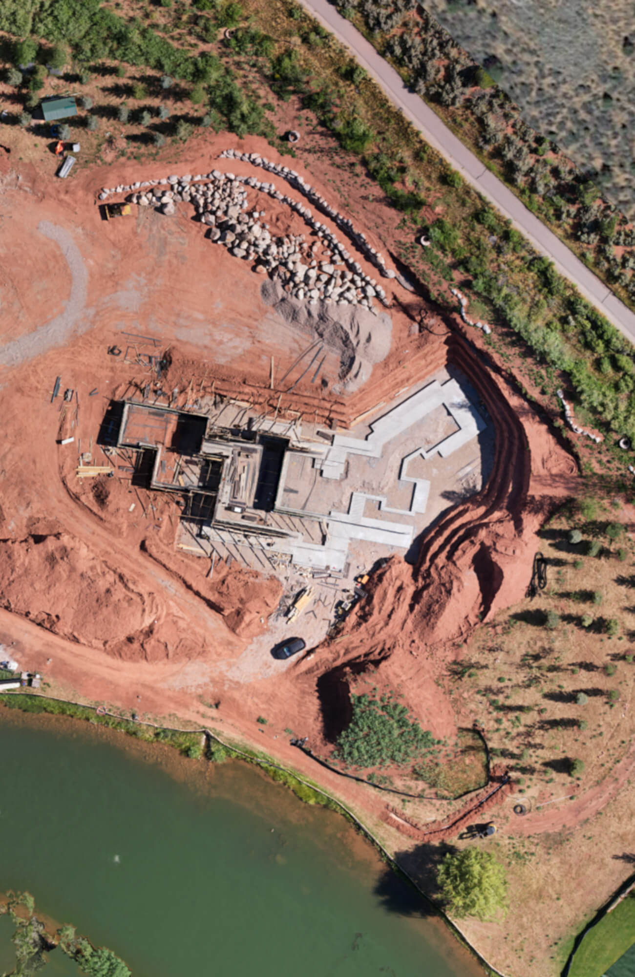
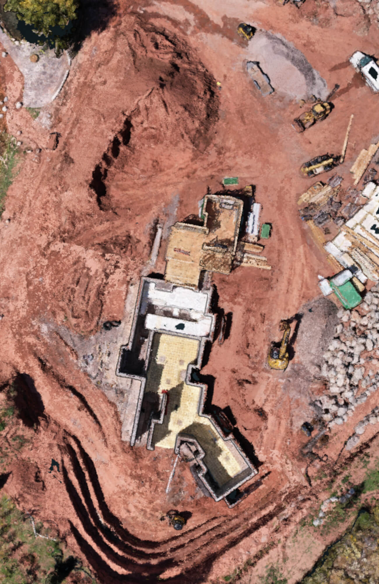
By comparing the 3D models or point clouds from different time periods, you can identify changes in the construction site. This can include tracing the progress of building structures, excavation, grading and more.
05.
Volume Calculation
Photogrammetry can be used to calculate volumes of materials like earth, gravel or concrete that have been added or removed from the site over time. This is valuable for tracking quantities and project management.
06.
Visualization
The 3D models and maps created through photogrammetry can be visualized by project managers and stakeholders to get a clear understanding of how the construction is progressing.
07.
Documentation
Photogrammetry provides a visual record of the construction project’s evolution, which can be valuable for documentation, reporting and compliance purposes.
08.
Quality Control
It helps in identifying potential issues or discrepancies in construction and allows for corrective action to be taken early in the project.
2D & 3D
Basalt, CO Project
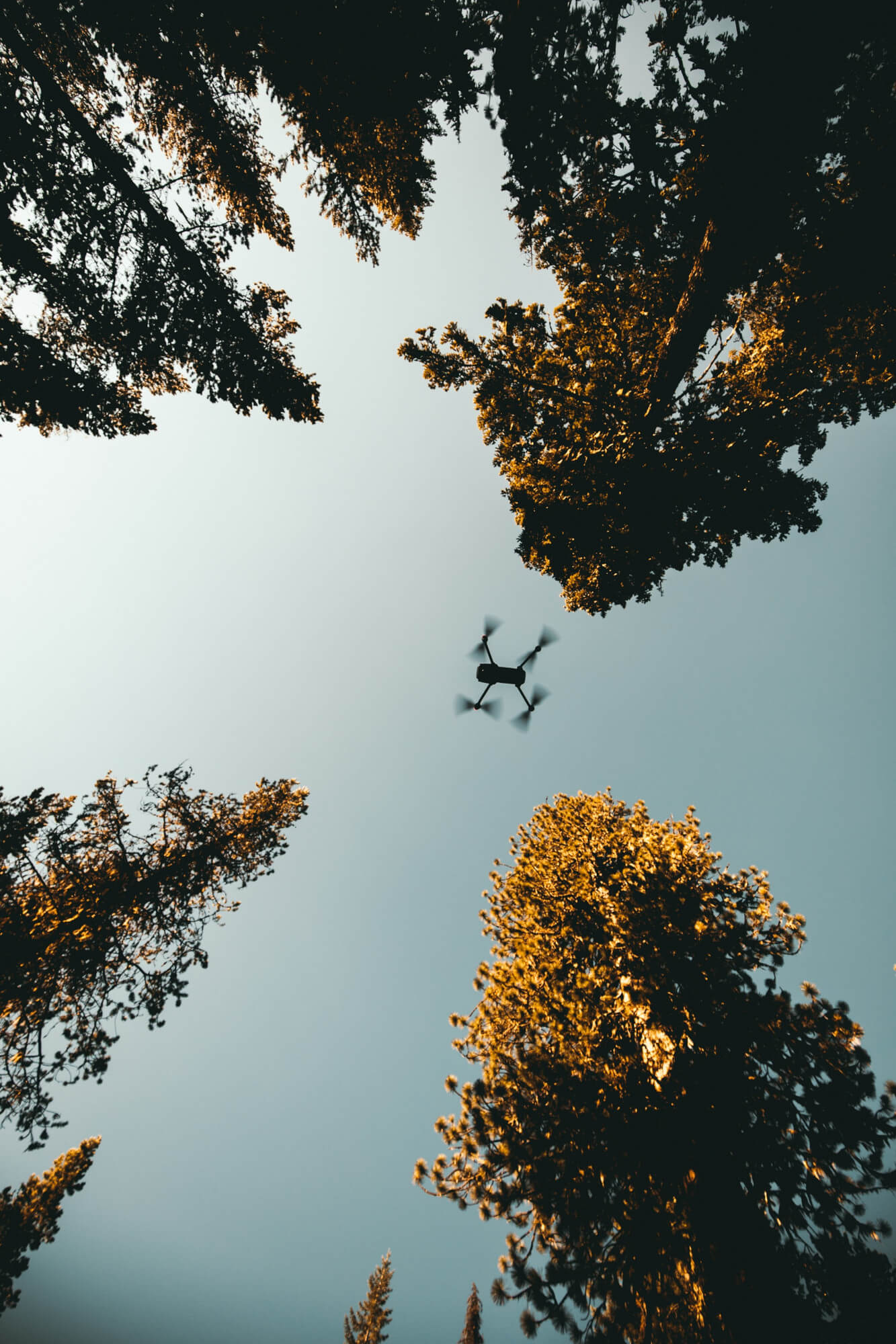
Aerial Mapping Benefits
View From a New Perspective
Overall, construction progress photography is a powerful tool for monitoring and managing construction projects, providing accurate and detailed insights into the progression of the work. Additional benefits include:
- FAA Licensed, Certified, & Insured
- LAANC authorization near Eagle, Aspen, & Rifle airports with restricted airspace
- Shows project progression over time
- Accurate & measured records
- Ideal for difficult-to-access locations
- Enhances project efficiency
- Reduces errors
- Aids in effective decision-making
- Environmentally robust
